Prohibited, Restricted and Danger areas are given a unique identity system.
The first 2 letters will signify which state the area is in. This will be followed by either a P, R or D to show it is a prohibited, restricted or danger area, respectively. Finally an ascending number system is added to the end.
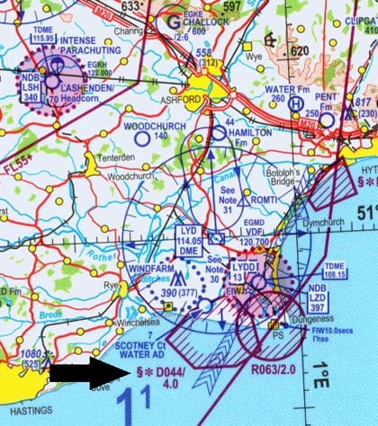
Example
EG D044
EG – United Kingdom
D – Danger area
044 – Danger area number 44
Further information including location, upper/lower limited, activities, hours of operation and contact frequencies on the area in question can be accessed using the AIP section ENR 5.1
Restricted areas (sometimes called ‘Danger areas’) prevent aircraft straying into dangerous places. Danger can come from airborne activities, such as military aircraft training or air-to-air refuelling. It can also come from the ground, such as from weapons testing ranges. To ensure efficient use of the airspace, most Restricted areas can be deactivated when they are not in use, allowing other aircraft to then use the airpsace.
If you see projectiles launched showing red or green lights or stars it indicates that you are either in or about to enter a restricted, prohibited or danger area.